High Precision
Centimeter-level accuracy buyers can trust.
 Get a Quote
Spherefix GNSS
High-precision GNSS, SLAM, USV and monitoring solutions for surveying distributors, contractors and technical teams worldwide.
Centimeter-level accuracy buyers can trust.
GPS, BDS, GLONASS, Galileo and QZSS support.
Rugged designs for outdoor survey environments.
Field-ready endurance for daily operation.
Flexible data transfer and remote support.
Our Products
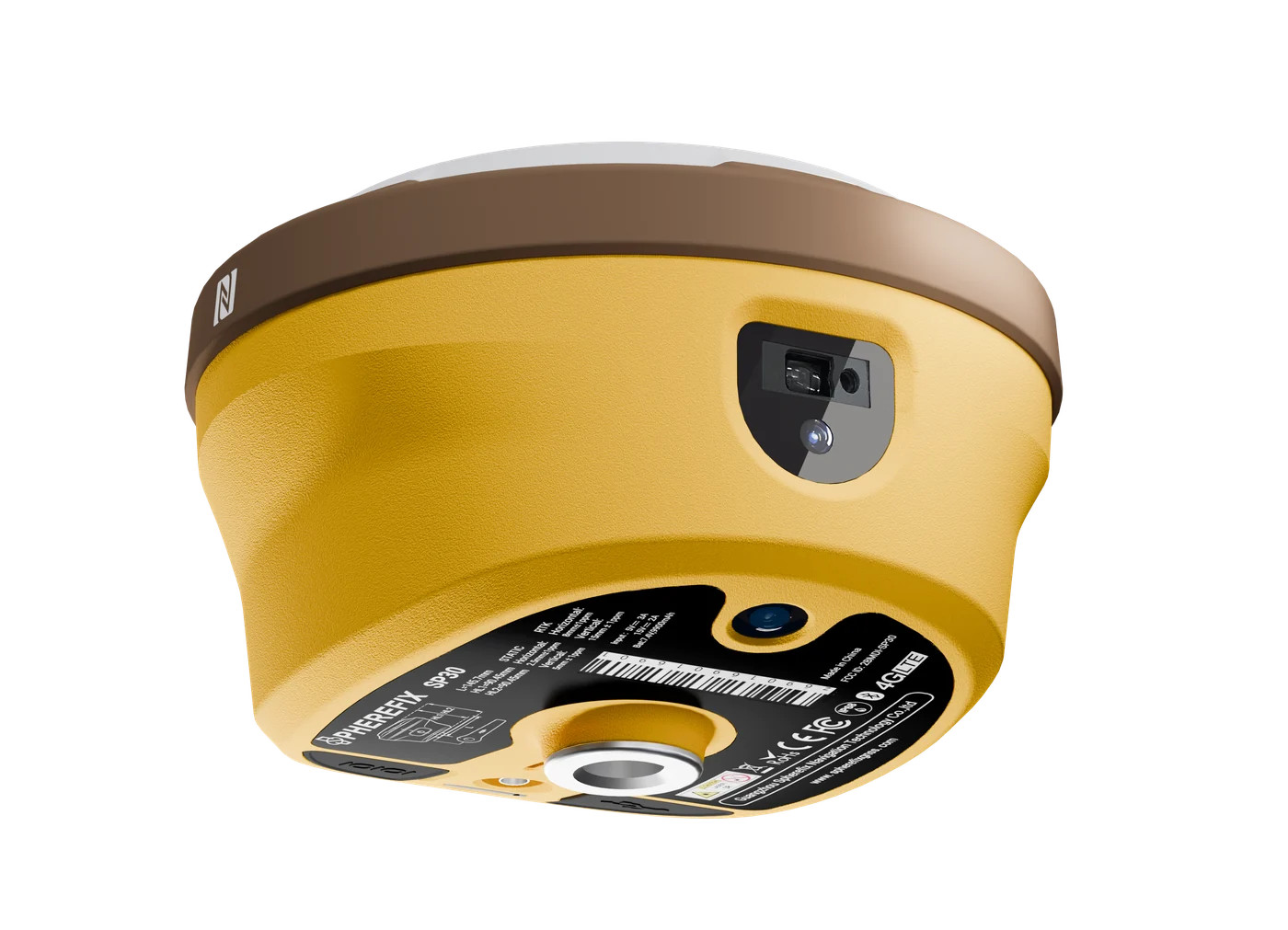
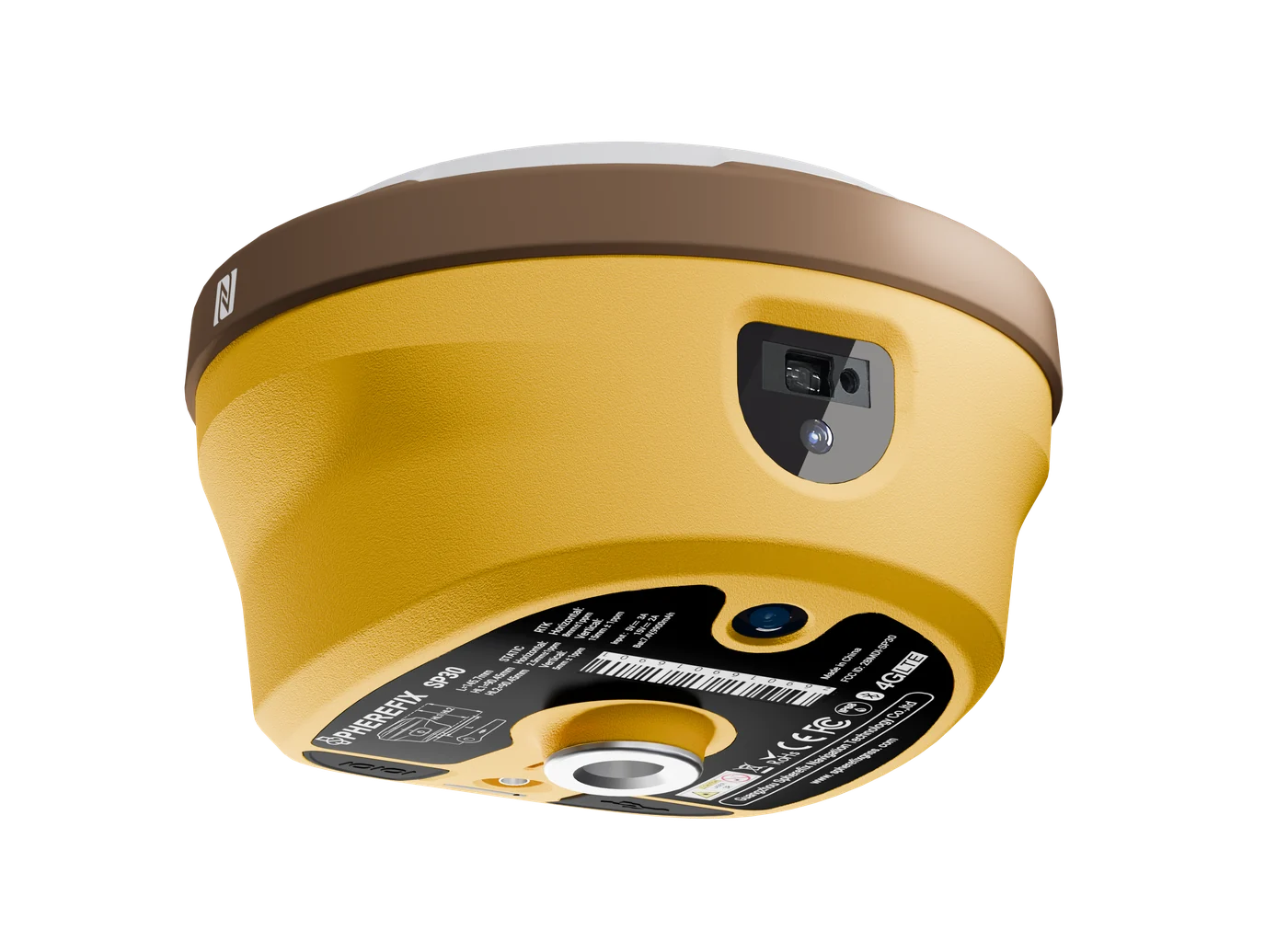
Camera-assisted RTK with AR stakeout and laser surveying.
Learn More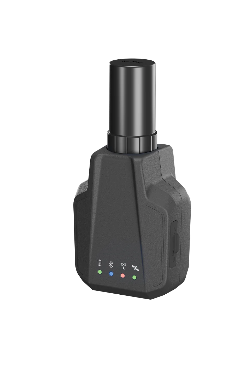
Ultra-compact RTK receiver for lightweight field positioning.
Learn More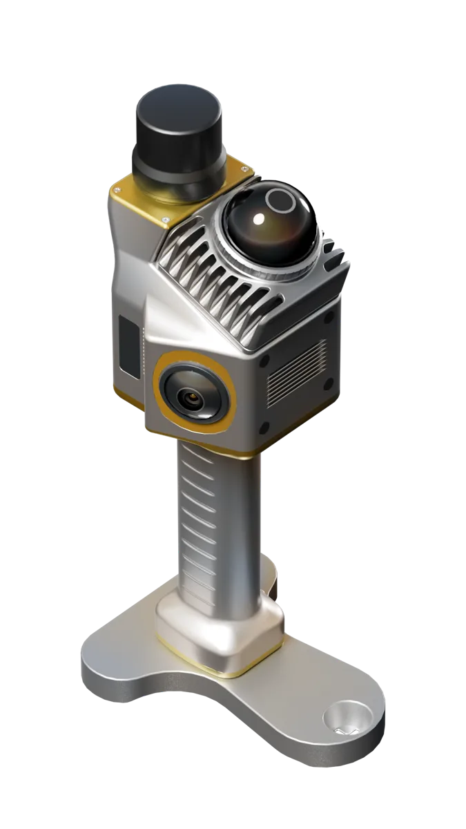
Handheld LiDAR scanner for point cloud and 3D mapping.
Learn More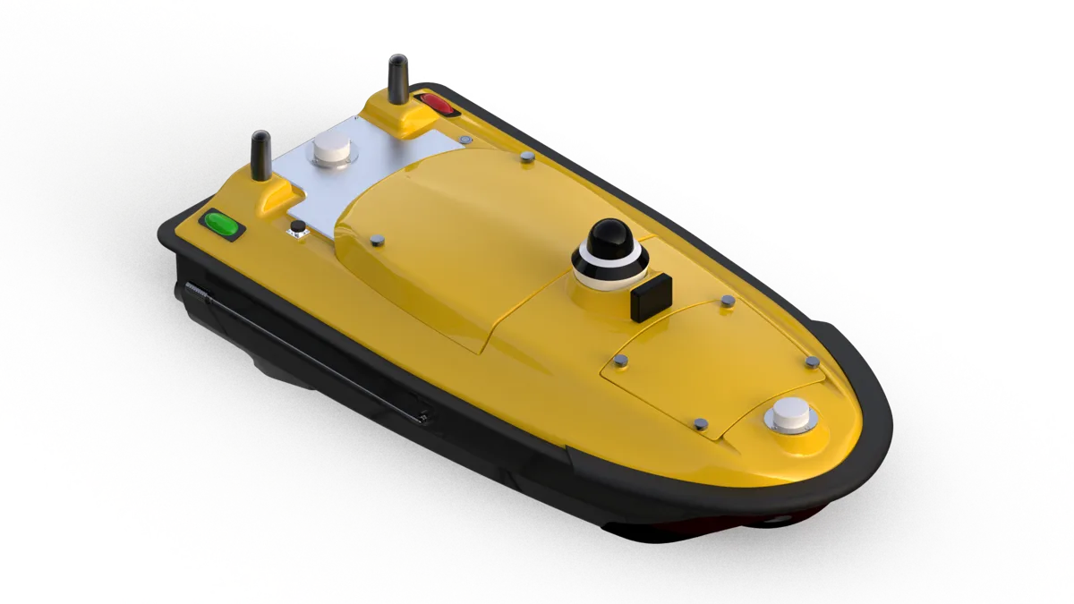
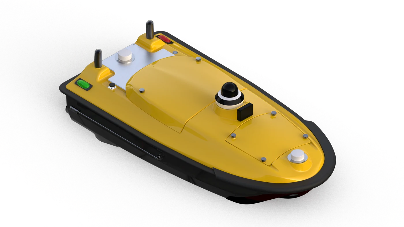
USV platform for hydrographic survey and water monitoring.
Learn More
GNSS deformation monitoring for structures and slopes.
Learn MoreProduct Categories
Keep the homepage simple for first-time buyers, then guide them into the existing product category and detail pages for model comparison.
Centimeter-level RTK, 1408 channels, IMU tilt compensation, IP68 field protection and long battery life.
GNSS-based auto-steering, satellite land leveling and machine guidance for efficient field operation.
Rugged Android data collectors for outdoor surveying work, stable communication and long field operation.
Low-power GNSS monitoring devices for deformation monitoring and geological disaster early warning.
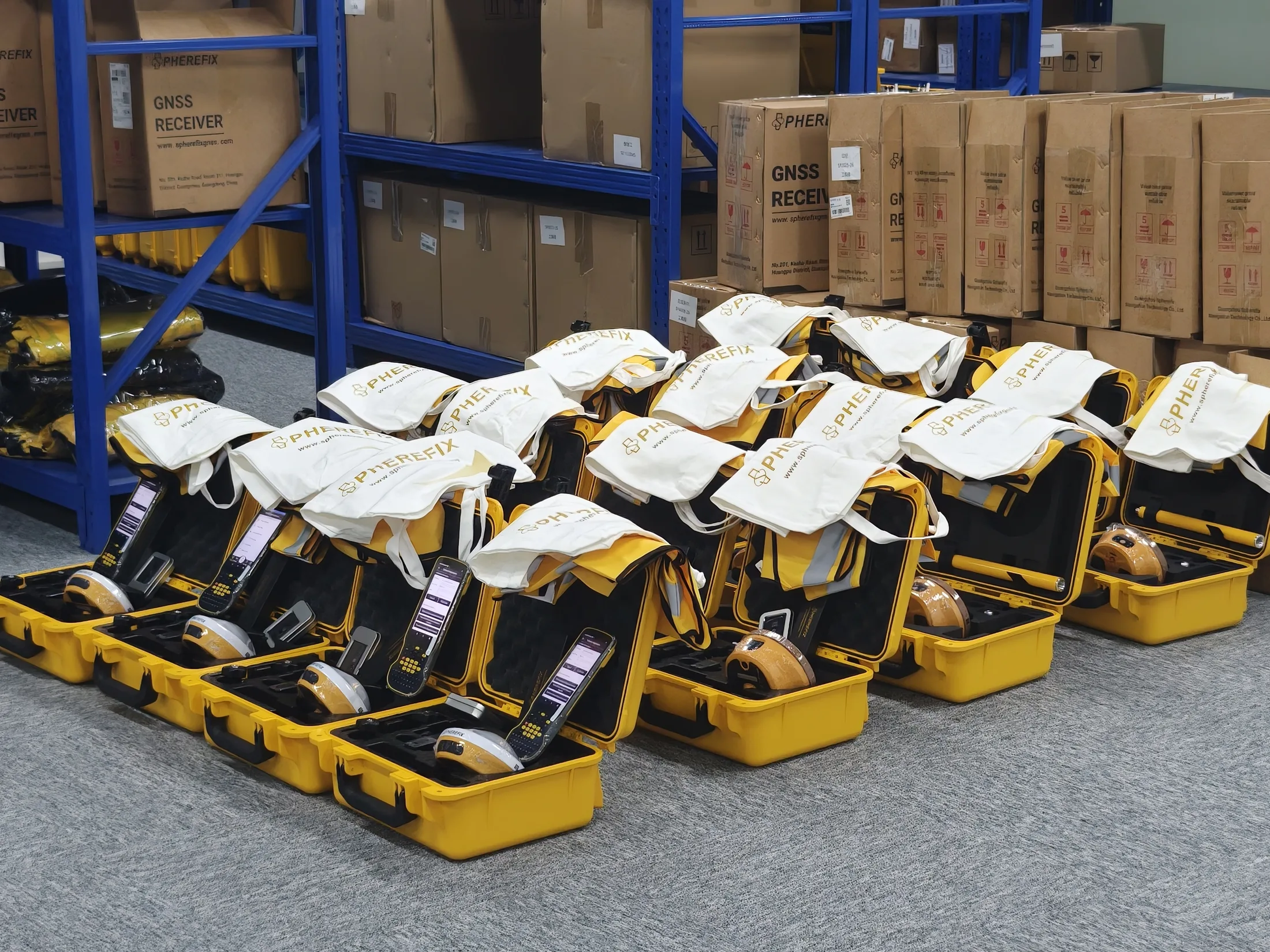
Trusted by Professionals Worldwide
Get in Touch
Send model, quantity, country and application details. We will route your inquiry to sales support.
Explore More