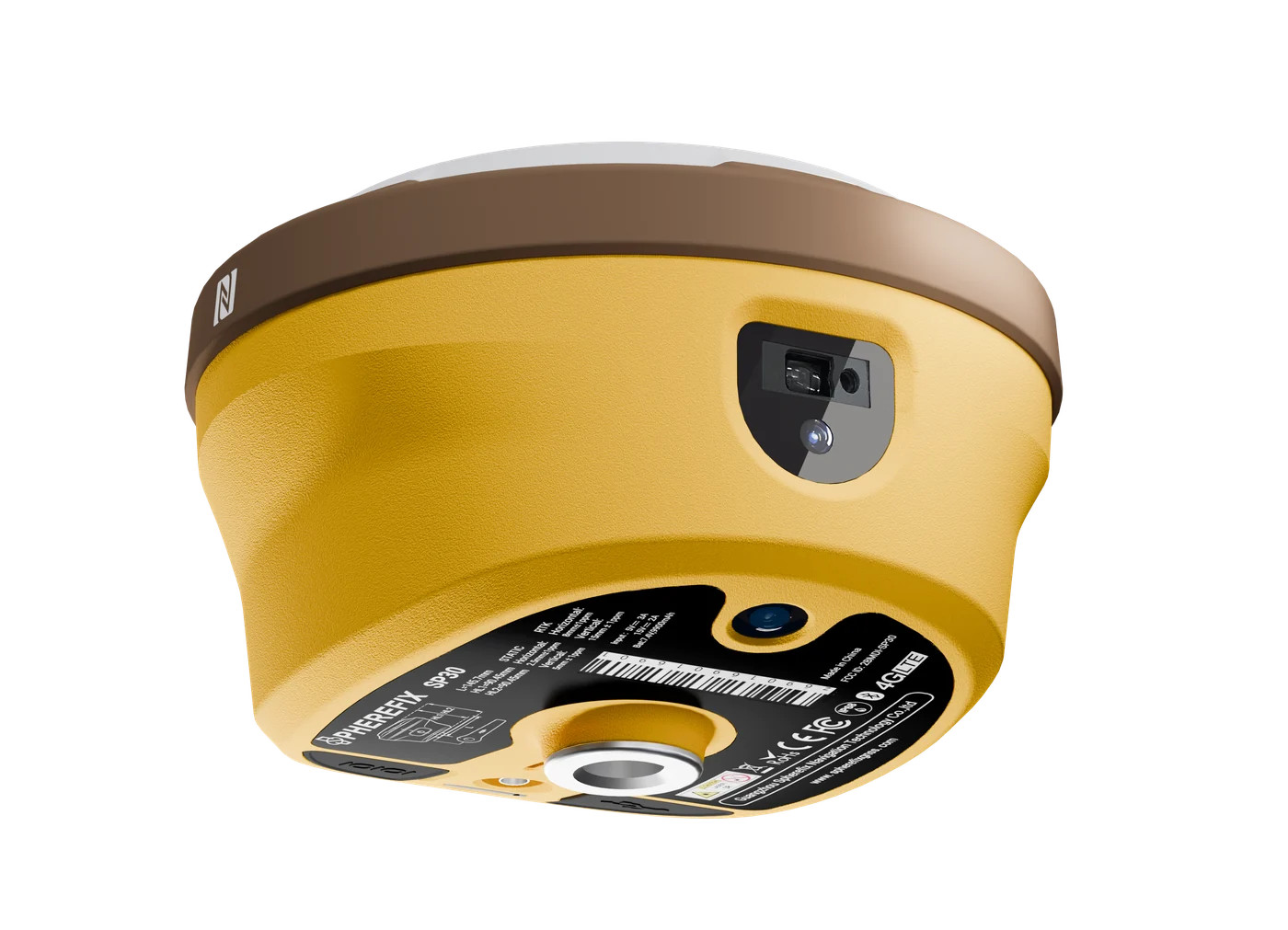
Land surveying
Use SP-series RTK receivers with controllers for topographic survey, stakeout, GIS collection and daily construction positioning.
View recommended products Get a Quote
Applications
Choose products by field task: RTK survey and stakeout, construction layout, agriculture guidance, machine control, hydrographic survey, SLAM mapping and deformation monitoring.
Use SP-series RTK receivers with controllers for topographic survey, stakeout, GIS collection and daily construction positioning.
View recommended products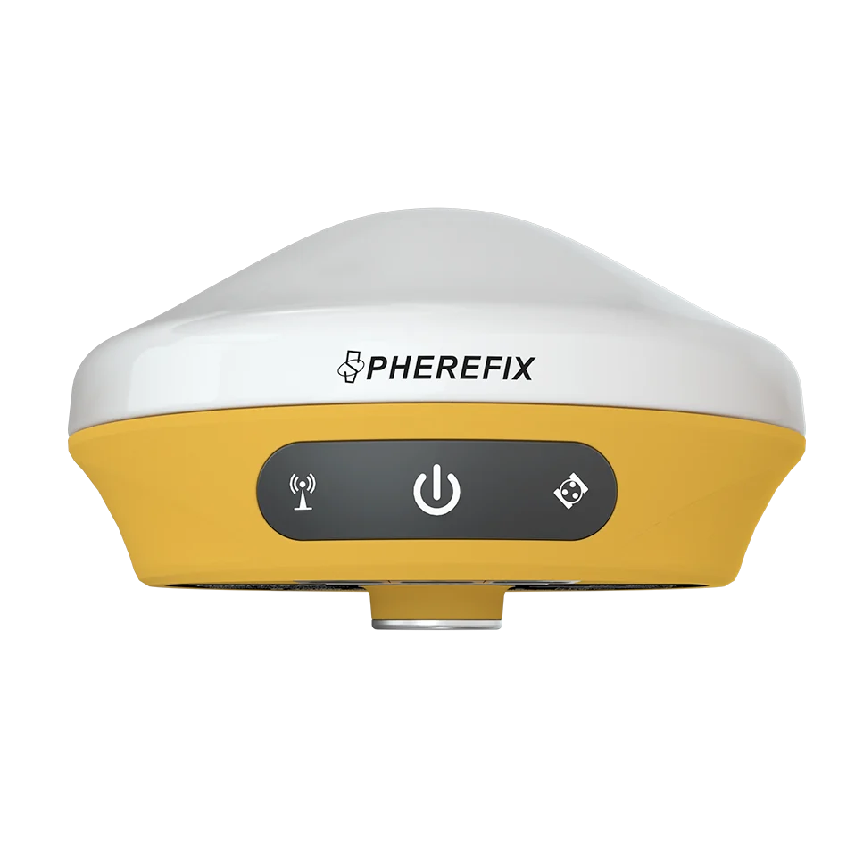
Support site layout, road works, earthwork measurement and contractor workflows with GNSS receivers and rugged field terminals.
View recommended products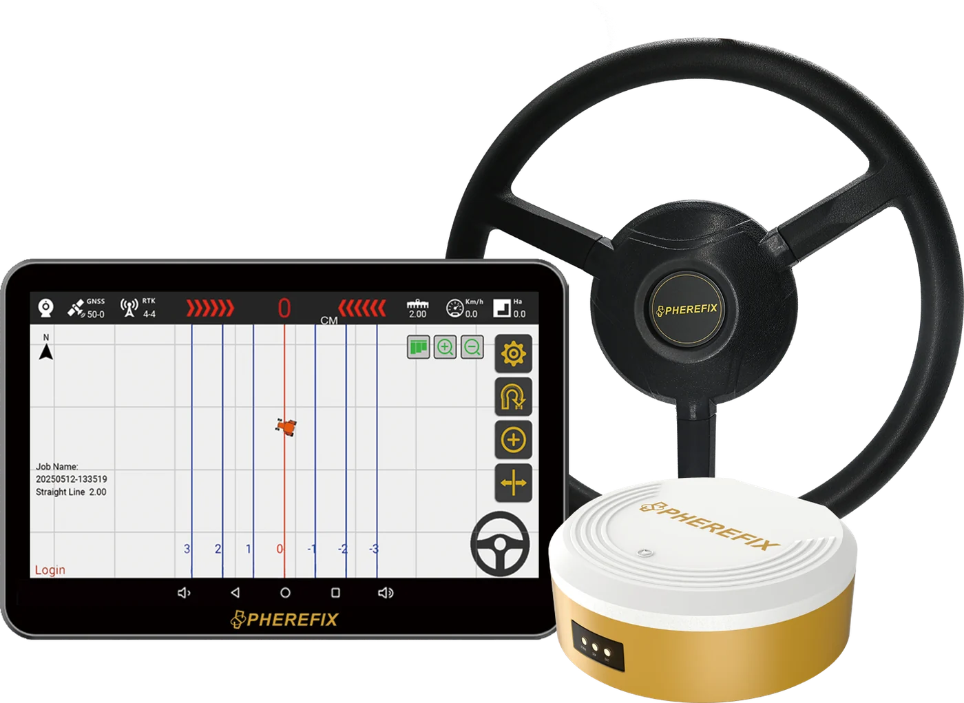
Apply SAG auto-steering and satellite land leveling systems to reduce operator fatigue and improve field operation consistency.
View recommended products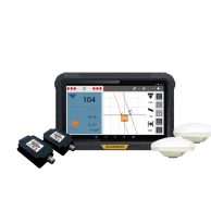
Use SMC dozer control and excavator guidance systems for grading, excavation and machine-assisted construction accuracy.
View recommended products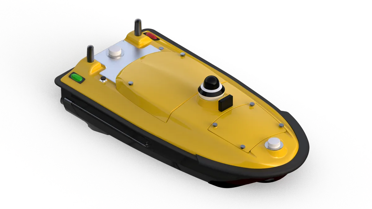
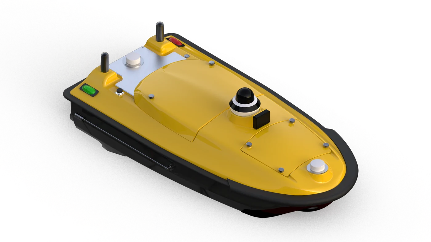
Deploy SPCraft USV platforms for route operation, water-depth measurement, water-quality tasks and sensor payload integration.
View recommended products
Use M6 monitoring devices for slope, dam, structure and geological disaster early-warning scenarios.
View recommended products